Our Dinner: Bob's Famous Stolen Biscuits 'n' gravy
Directions: West on Highway 50 from Fallon 28.8 to Fernley; 16.7 miles north on SR 447; 13.1 miles west on SR 446; 4.78 miles south on Pyramid Highway to dirt road; generally east on dirt road for .87 miles.
From Fallon: 64.5 miles

What Was
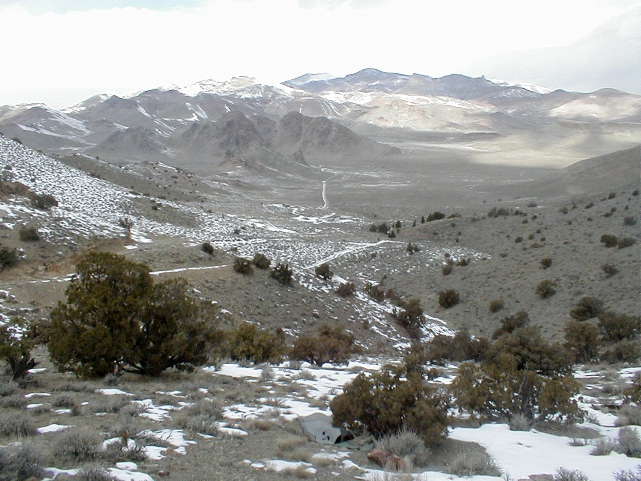
A silver camp existing from about 1877 to 1889. Two miles above the camp was the site of Upper Pyramid, sometimes referrd to as Jonesville.
Paher says the site consisted of "...two saloons, a Chinese wash house, store, boarding house, and a stage line with daily service to Reno." Pyramid was reportedly in Roop County until 1883, when Roop County became part of Washoe County. However, a map of the State dated 1866 shows Washoe County's northern border coming right up to Pyramid Lake, which would almost certainly have included the site of Pyramid.
From Mineral Resources Inventory and Analysis of the Pyramid Resource Area, Carson City District, Nevada and California, by R. E. Bennett and H. W. Mallery, 1973:
The Pyramid area is located about 30 miles north of Reno, at the junction
of the Virginia Mountains ar.d the Pah Rah Range. Mullen Pass, an eastnortheast-
trending structural lineament, approximately bisects the area.
The district was first organized in 1866 and encompasses about 20 sections. Maximum productivity occurred prior to 1890. From 1890 to the present
there has been only limited, small-scale mining activities. Incomplete
records indicate the extraction of about 3,000 tons of gold and silver
ore grossing approximately $95,000. The bulk of the production came
from the Franco-American (Nevada Dominion, Blondin) Mine...
Uranium was discovered in the Pyramid area in 1954.
Post Office: February 1879 - February 1889
Newspaper: None
What is
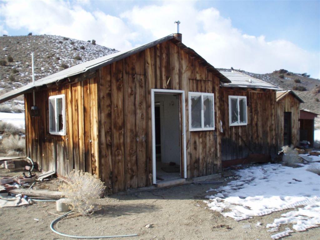
All that remains of the lower site is a wood frame building of obvious later vintage, a trailer, several neglected cars, and scattered debris. One can look at the site and visualize how it might have been laid out, however. There is also a grave, marked "Frank # Ondin," where the '#' represents an unrecognizable character. Looks like old Frank might have cashed in in 1939 or thereabouts, but hard to say.