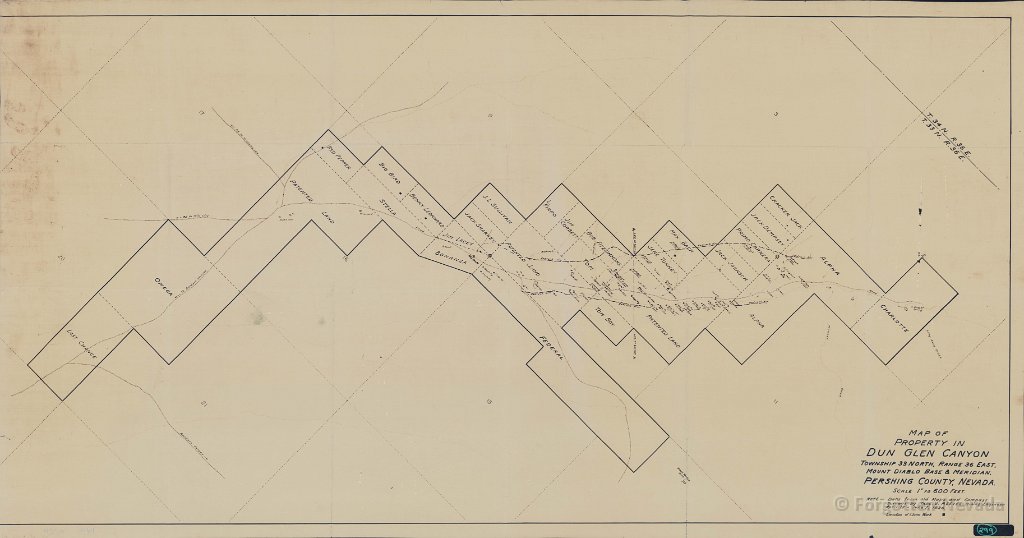
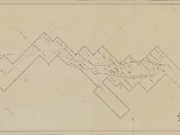
  1 Map of the Dun Glen Property from 1936 |
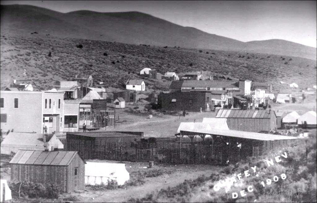
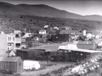 2 Dun Glen wearing its new name "Chaffey" in 1908- photographer unknown |
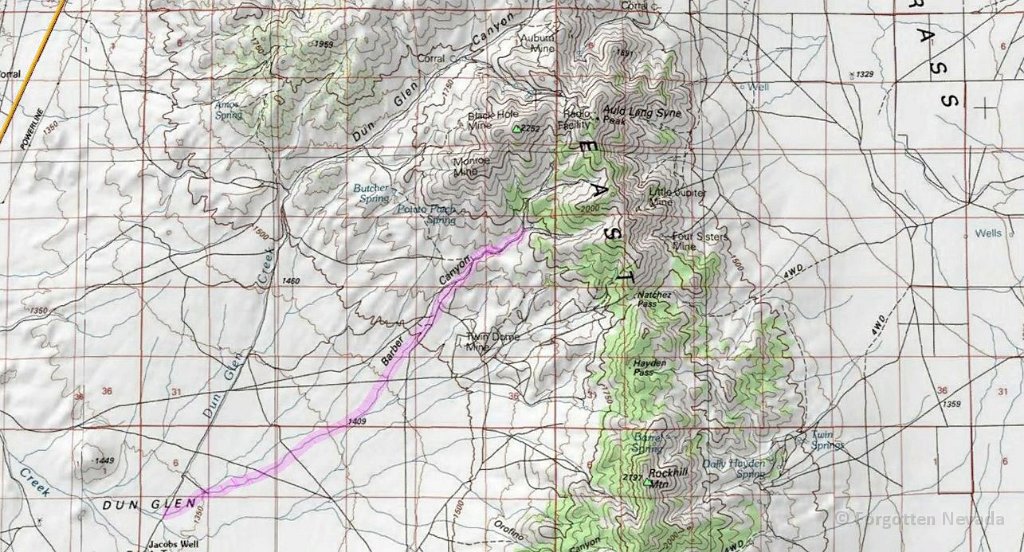
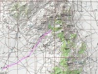 3 USGS map showing location of Barber Canyon |
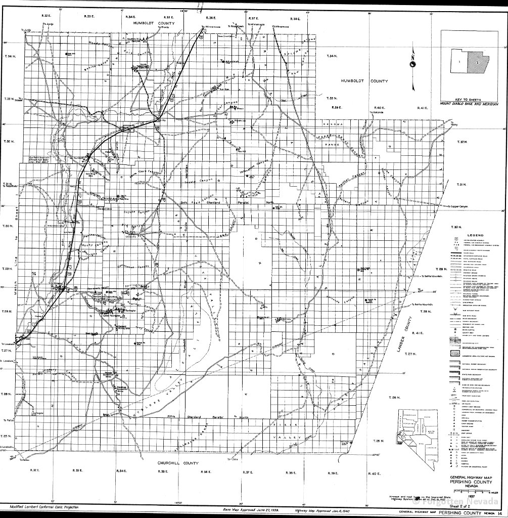
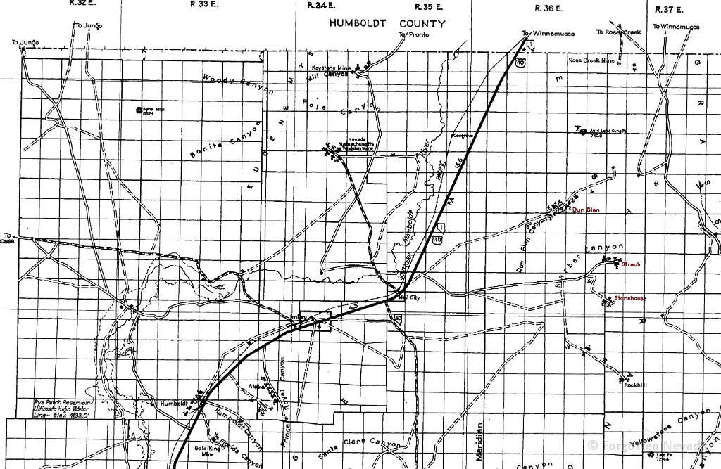
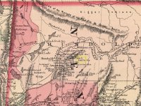
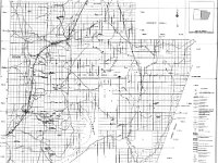 4 County map showing Dun Glen, Straub, Stonehouse, and Rockhill locations |
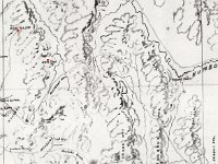
 5 1864 map showing the mining district way back when |
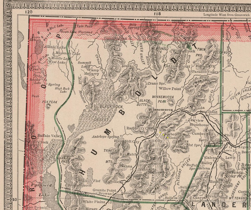
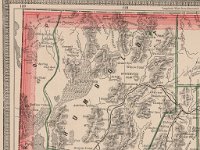 6 1883 map showing Dun Glen, Barbersville, and Gem. |
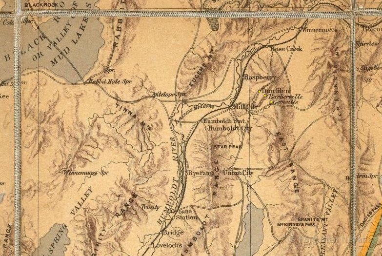
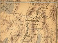 7 1874 map showing Dun GLen, Barbersville, and Gemville |
 8 Cropped military map showing Dun GLen and Gem City, from 1866 |