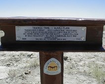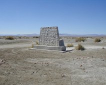
This monument to the California Emigrant Trail is about a mile west of Highway 95 almost 20 miles south of the junction with Interstate 80. The monument behind…
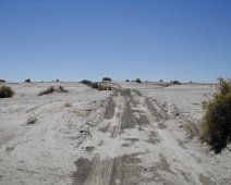
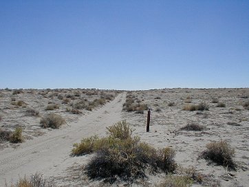
A wagon-eye view of the Emigrant Trail, about twenty miles north of Ragtown. Travelers still had a long journey ahead of them.
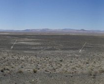
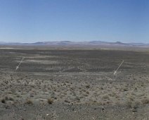
A view of the Carson River Route from the top of Upsal Hogback, north of Fallon. The trail is marked by arrows.
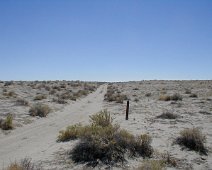
Getting closer now, only about ten miles away from Ragtown. A Trail marker is off to the right. It was hot this day- if it weren't for our ATV's, cell phones,…
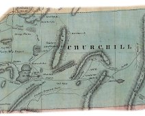
DeGroot's 1863 Nevada Map (here showing Churchill County) more than ten years after the early migrations, shows how poor the maps were- if a map was available…
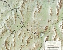
1855 survey map for a proposed railroad made under the direction of one Jefferson Davis, Secretary of War, by Captain E. G. Beckwith, 3d. Artillery, F.W.…
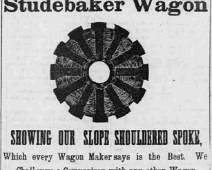
Newspaper advertisement for one of the era's most popular wagons. True American, Steubenville, OH, May 27, 1857
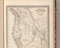
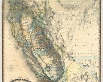
Revision of Mitchell's 1846-1847 maps with title: Oregon and Upper California. Coverage is extended eastward to include New Mexico and part of Missouri…
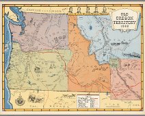
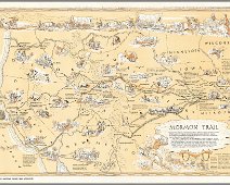
1848 (Published 1948) Colored pictorial map. Relief shown pictorially. Covers Oregon, Washington, Idaho, Montana, Wyoming and upper part of California, Nevada,…

Full color by counties, with heavy outlines around the states. detail mining districts, political divisions, emigrant trails, the Santa Fe Trail, the Pony…
