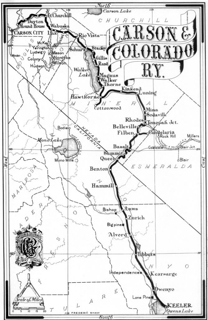
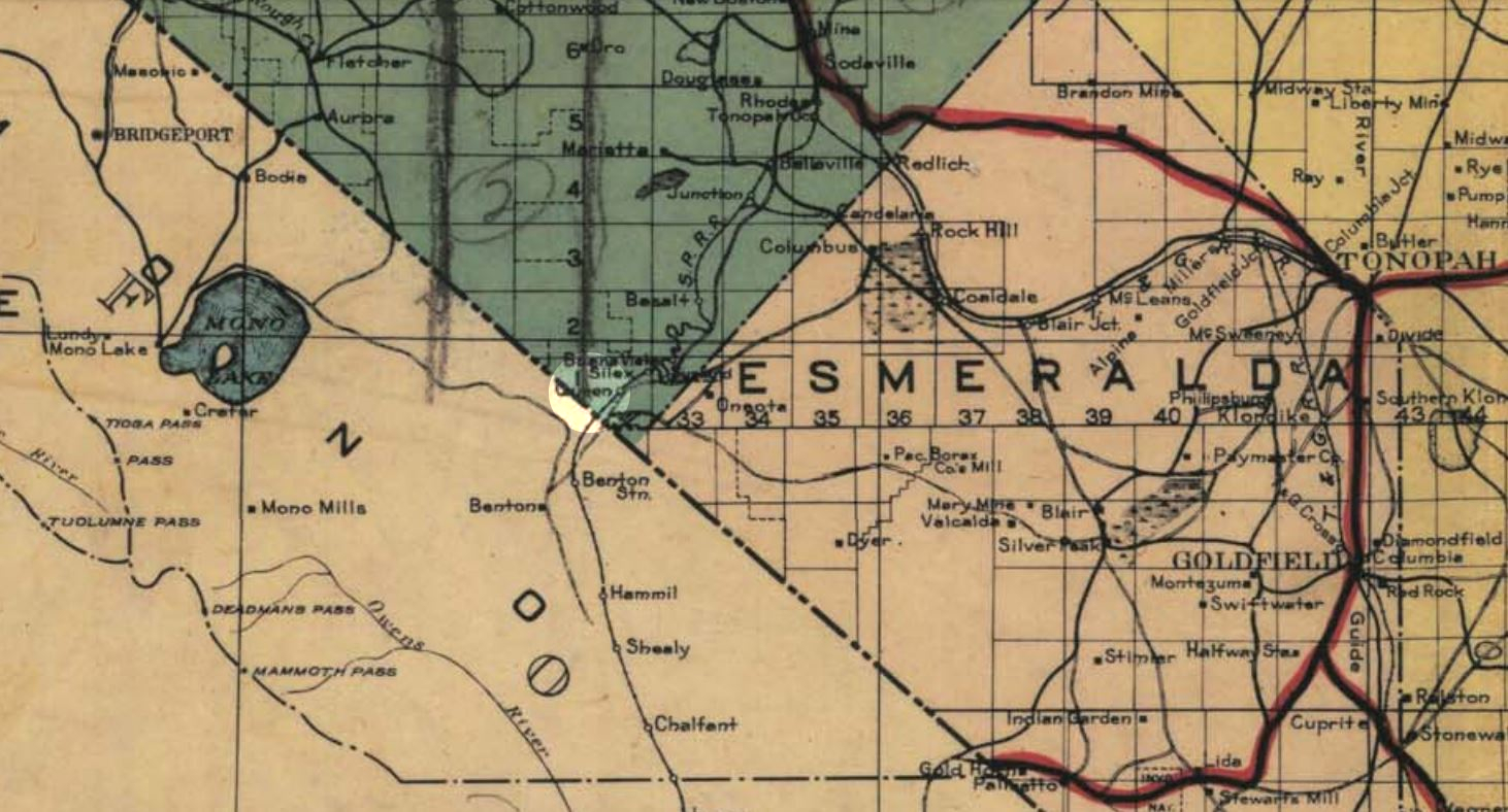
Route map of the C&C Railway
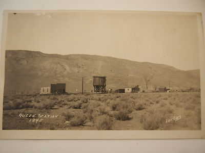
A small postcard showing Queen about 1895
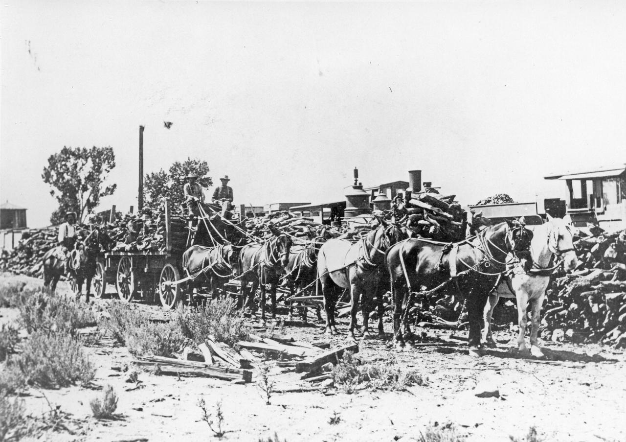
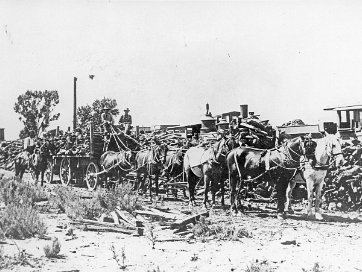
Transfer of cargo at Queen
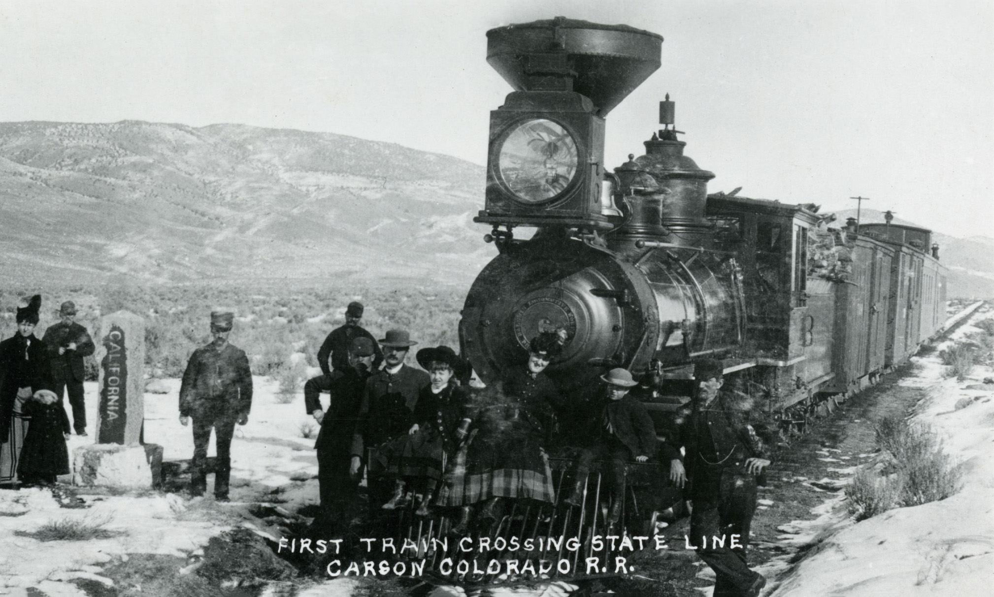
At the border west of Queen. Date Unknown. Courtesy UNR

1937 Rand McNally road map showing Queen Station
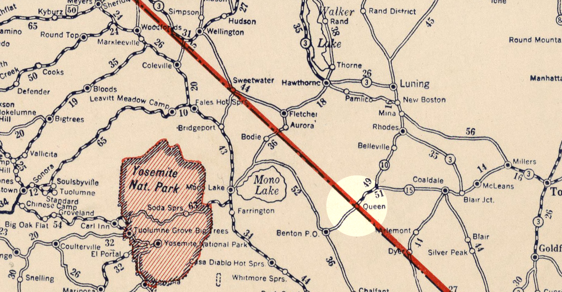
Queen on a 1927 National Map Company map
1919 Nevada Road map

1971 NDOT quad
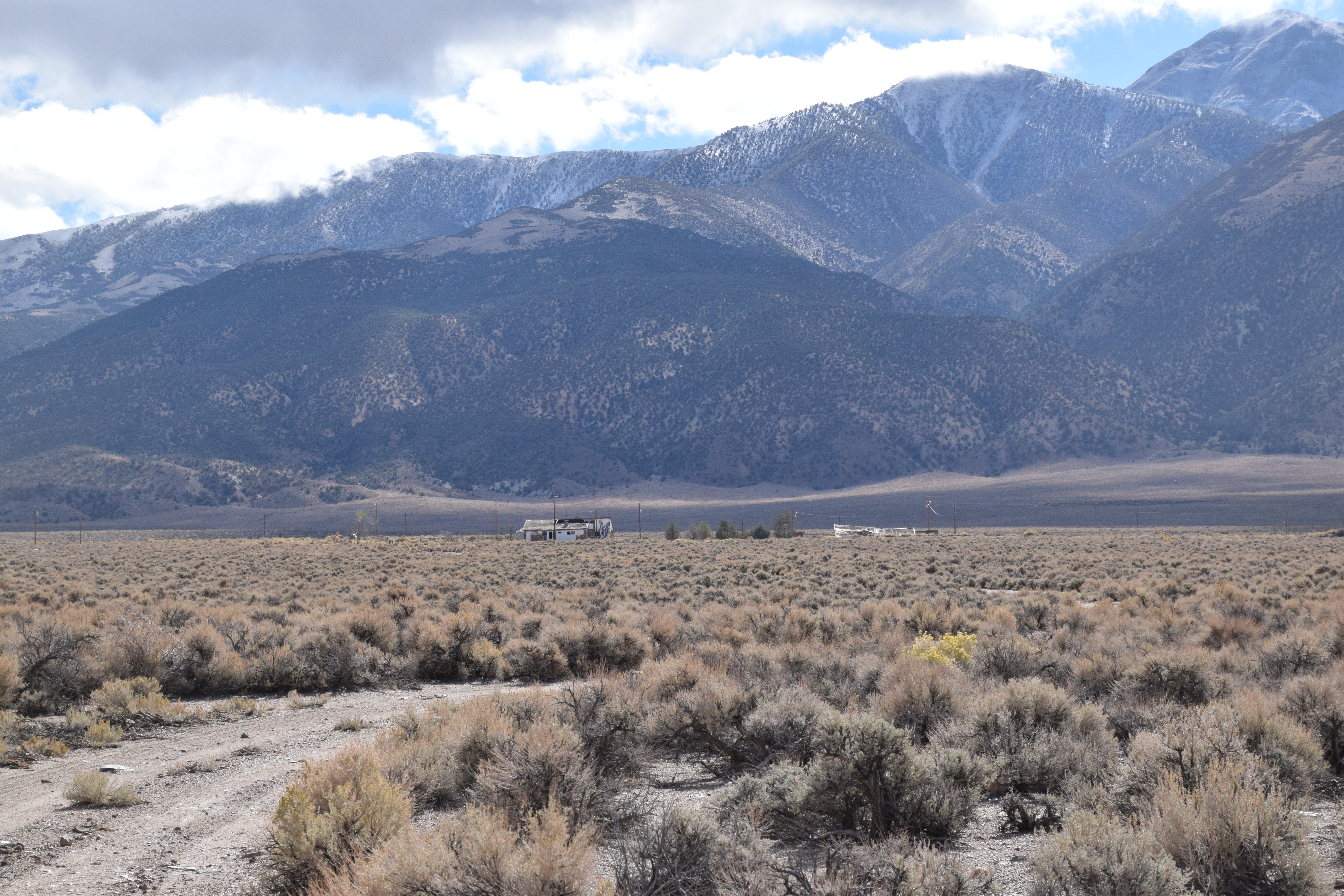
A view of the Carson & Colorado path looking east towards Mt. Montgomery.

A view of the Carson & Colorado path looking west towards the California border
Some more modern-- but abandoned-- buildings closer to the highway
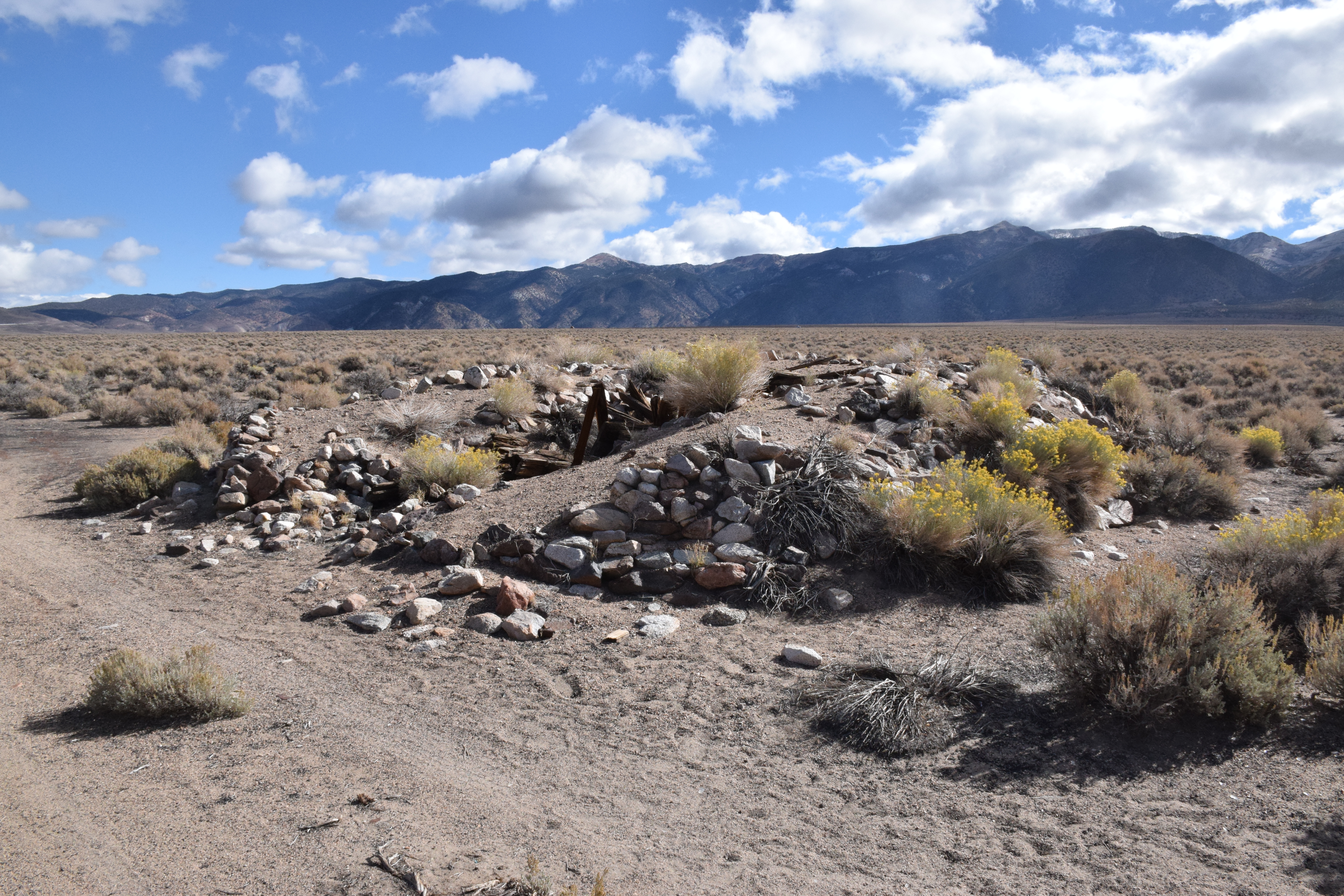
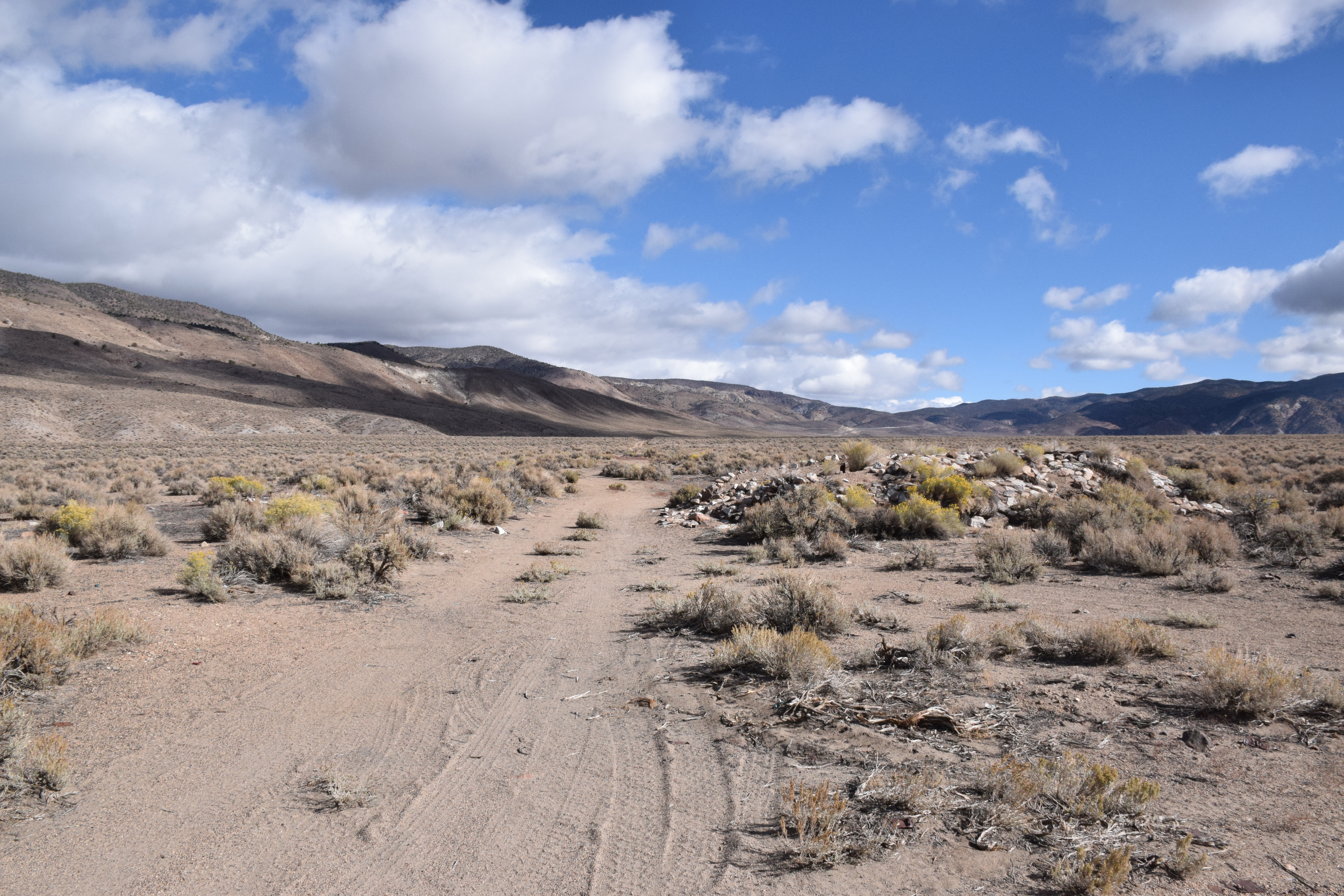
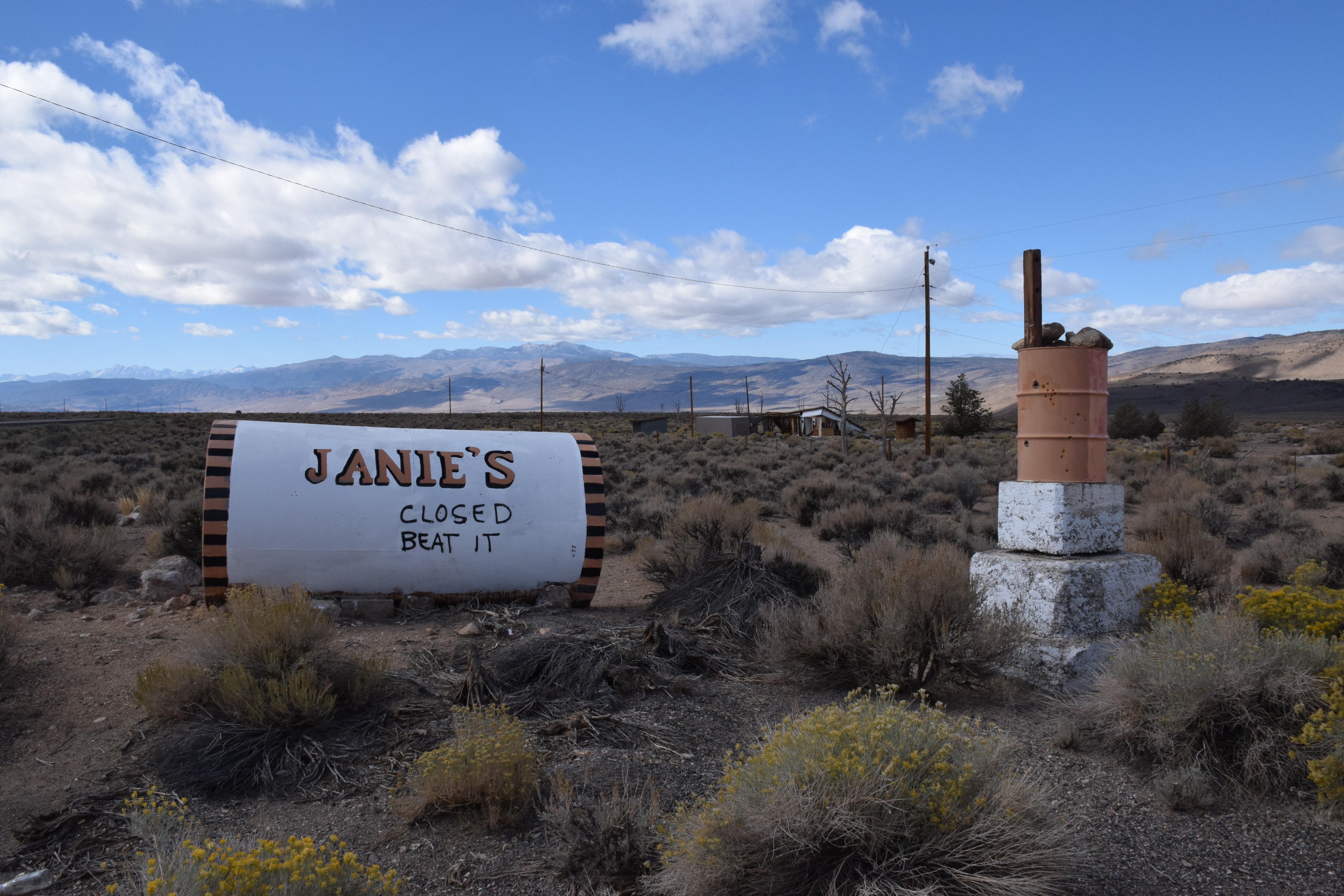
Rock remains at Queen Station
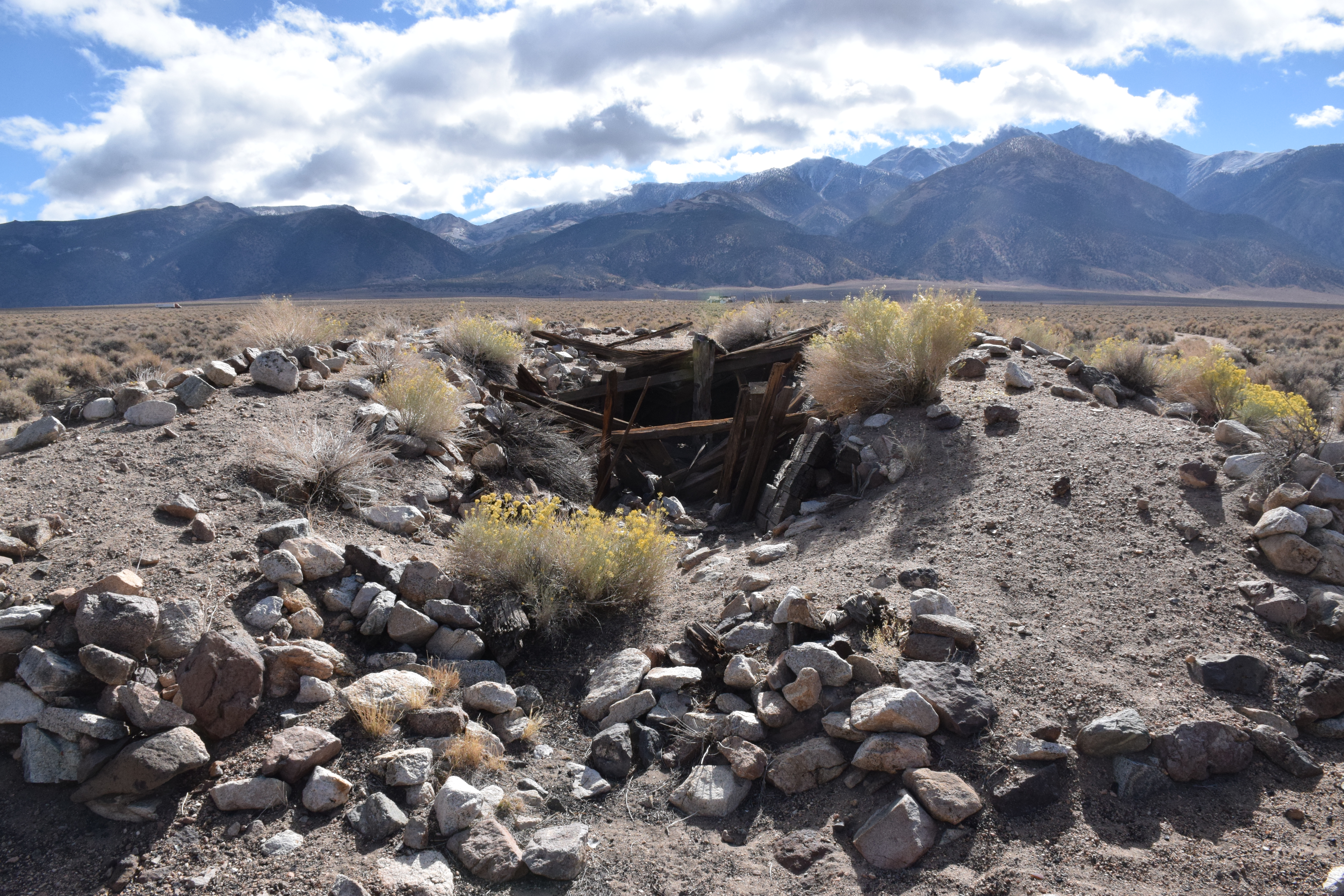
I'm guessing this was some sort of storage or root cellar or whatnot.

Lots of people have been dumping their trash here-- mainly tires-- so there is a lot of old mixed with new. This looks like an old sardine can, though.
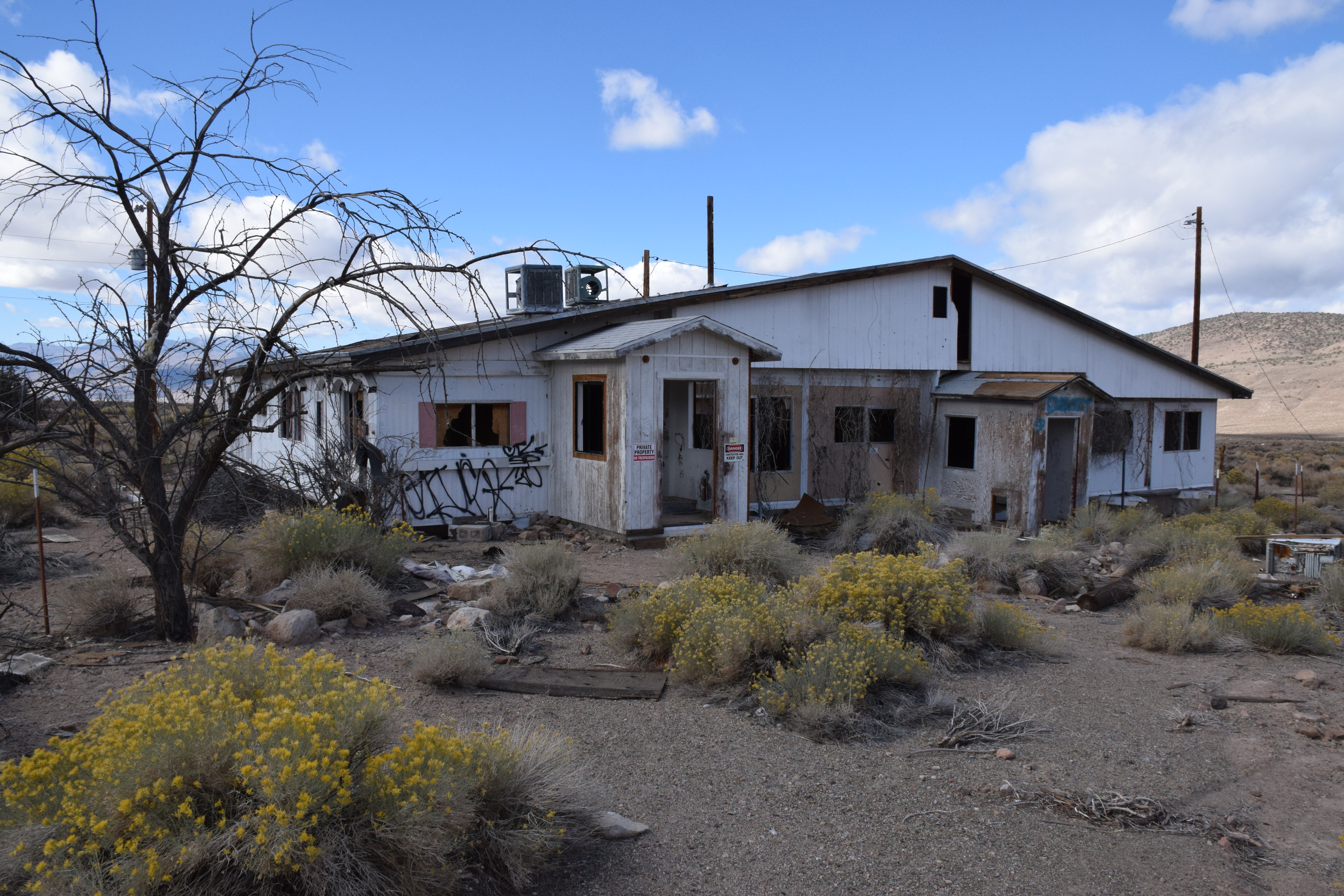
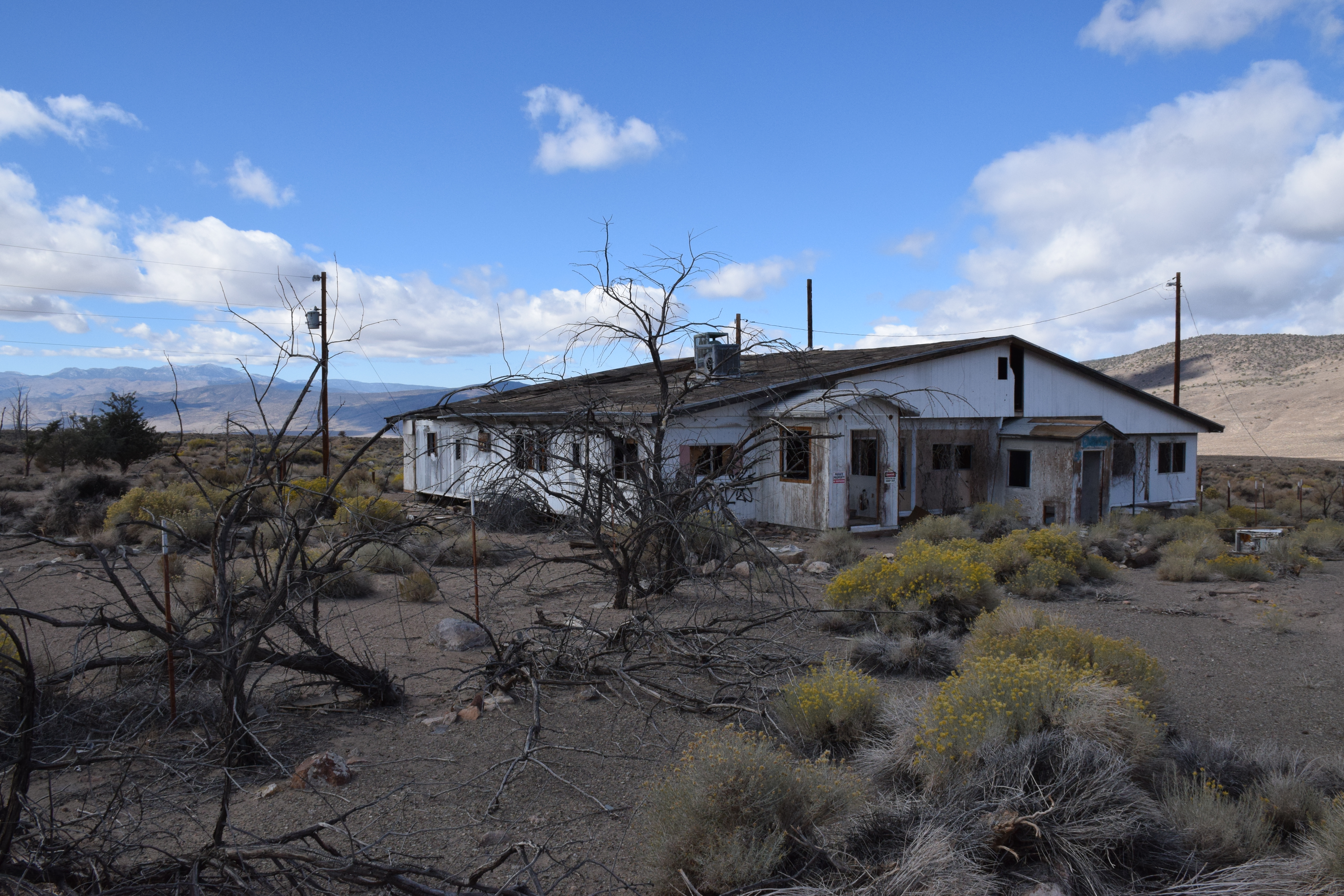
The remains of what we believe is an abandoned brothel.
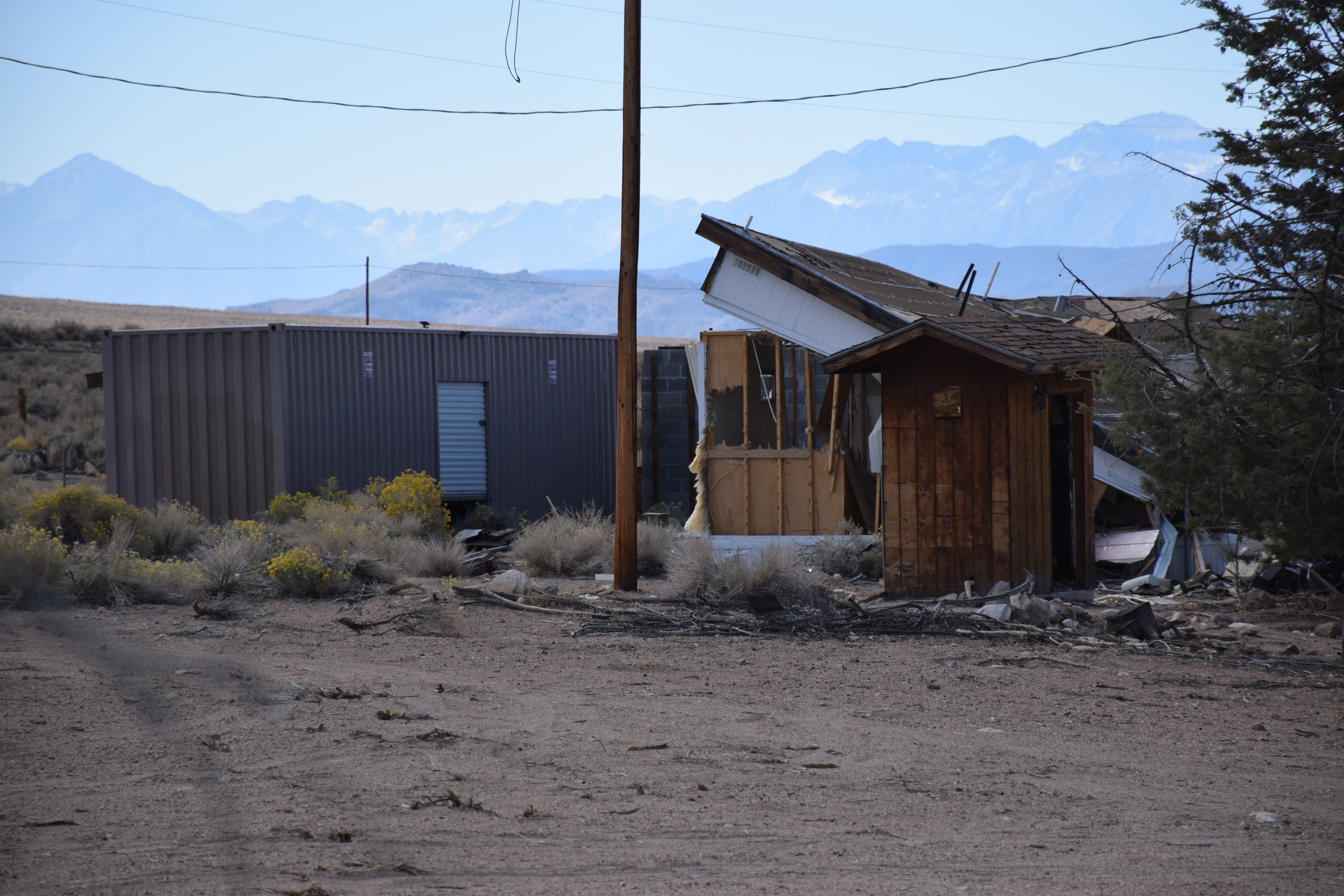
More modern outbuildings
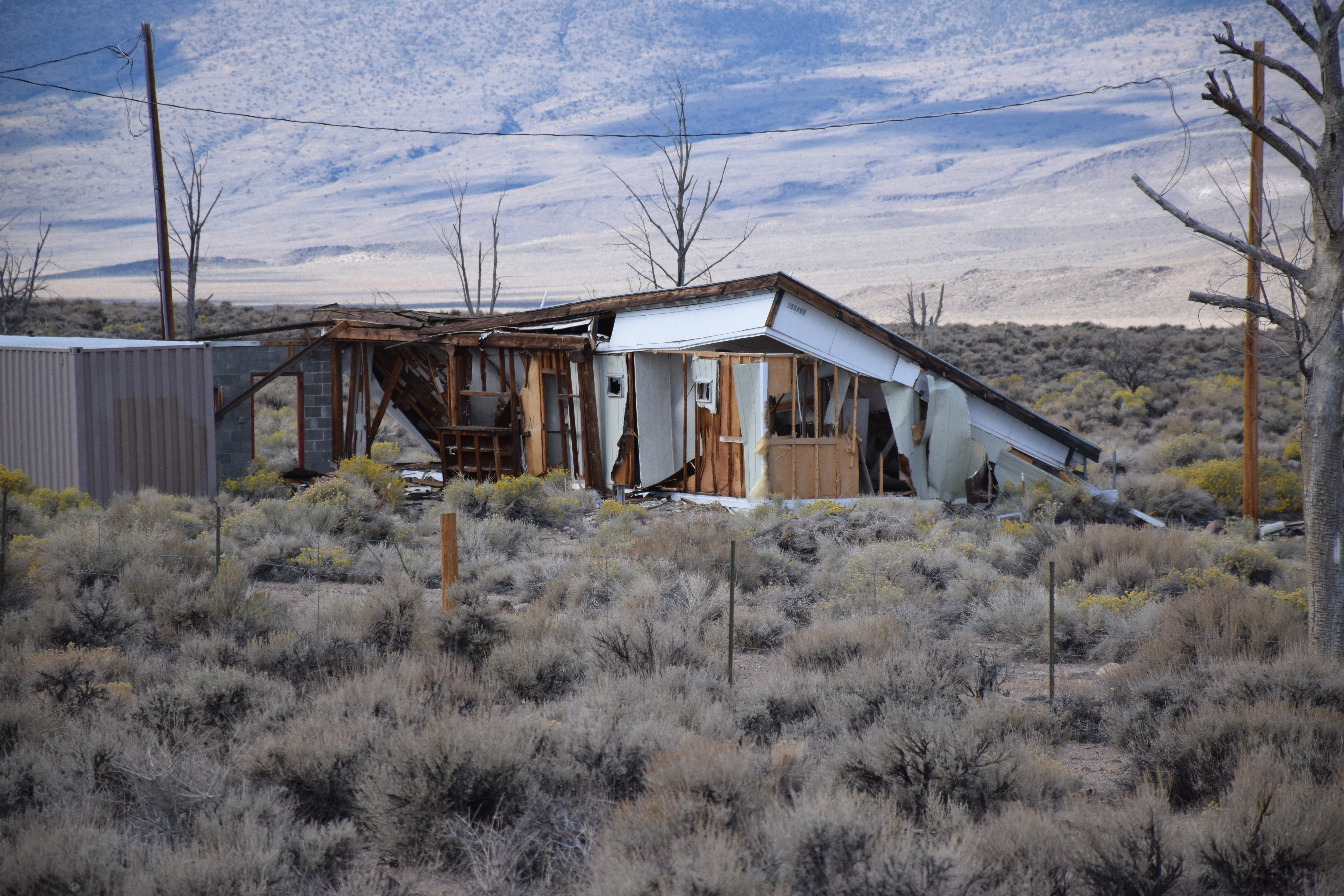

An old debris field