Williams Station
Pictures from the location of Williams Station, September 2013
1
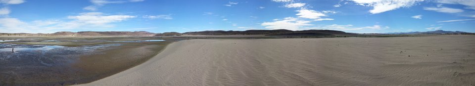
Panorama with the Williams Station location left of center on a small knoll
2
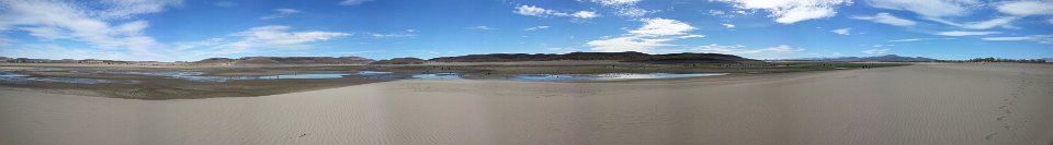
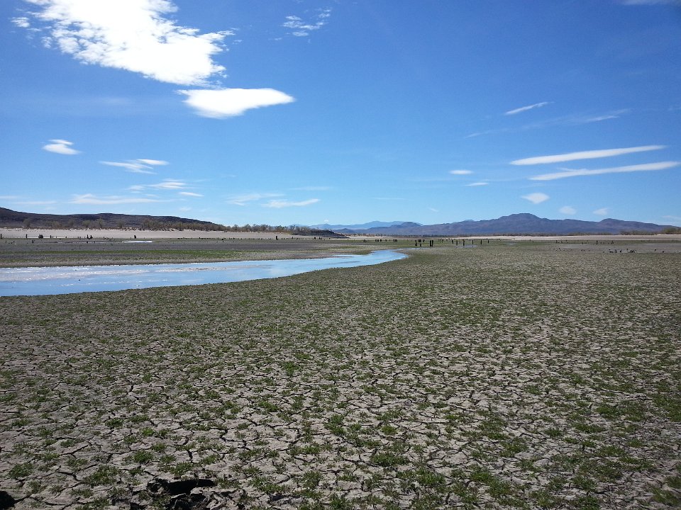
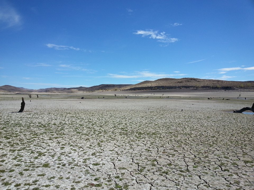
Very little water in Lake Lahontan these days (September 28, 2013)
3
A view of a river where a lake should be
4
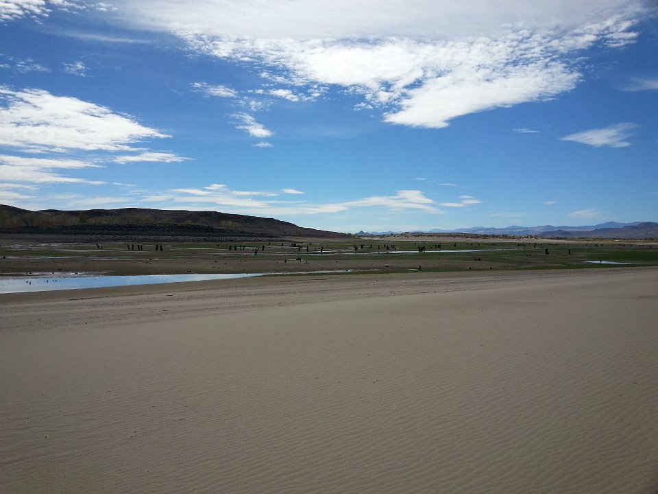
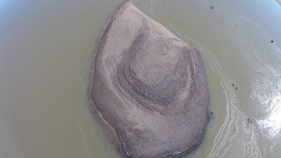
The dark knoll in the foreground is where we believe the station was loacted. Can't get to it. Too muddy!
5
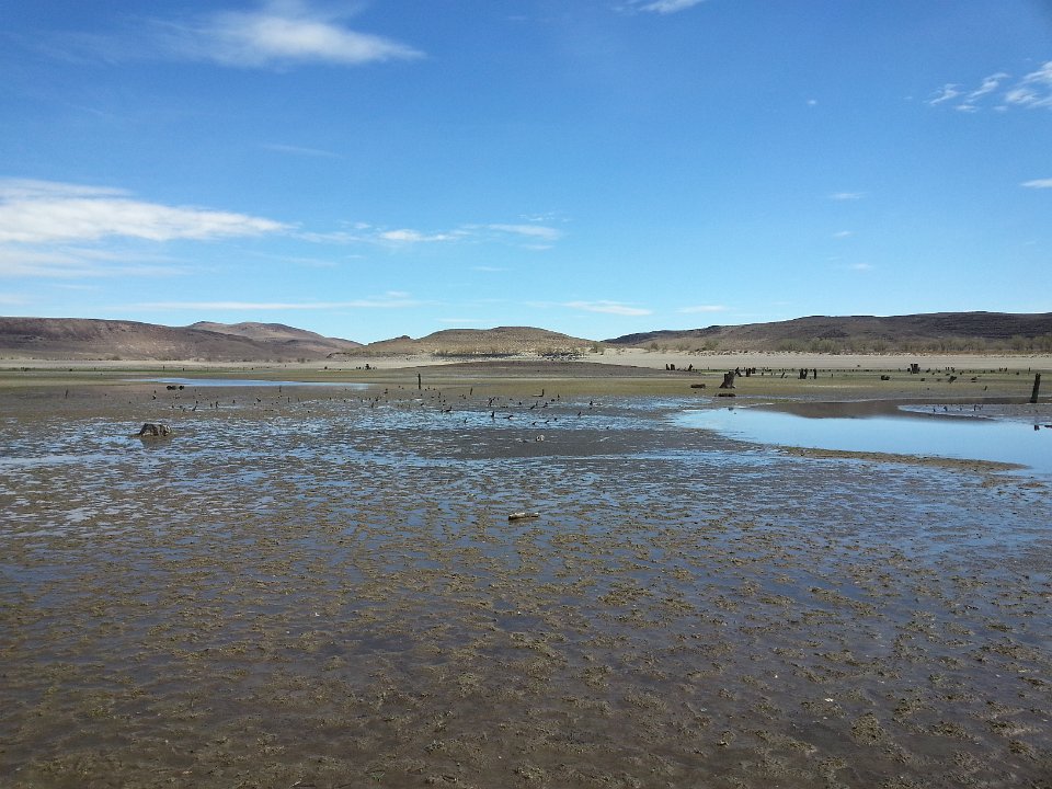
We tried coming in from the east- no dice!
6
The ground was fairly sollid and then all of a sudden turned to slimy muck.
7
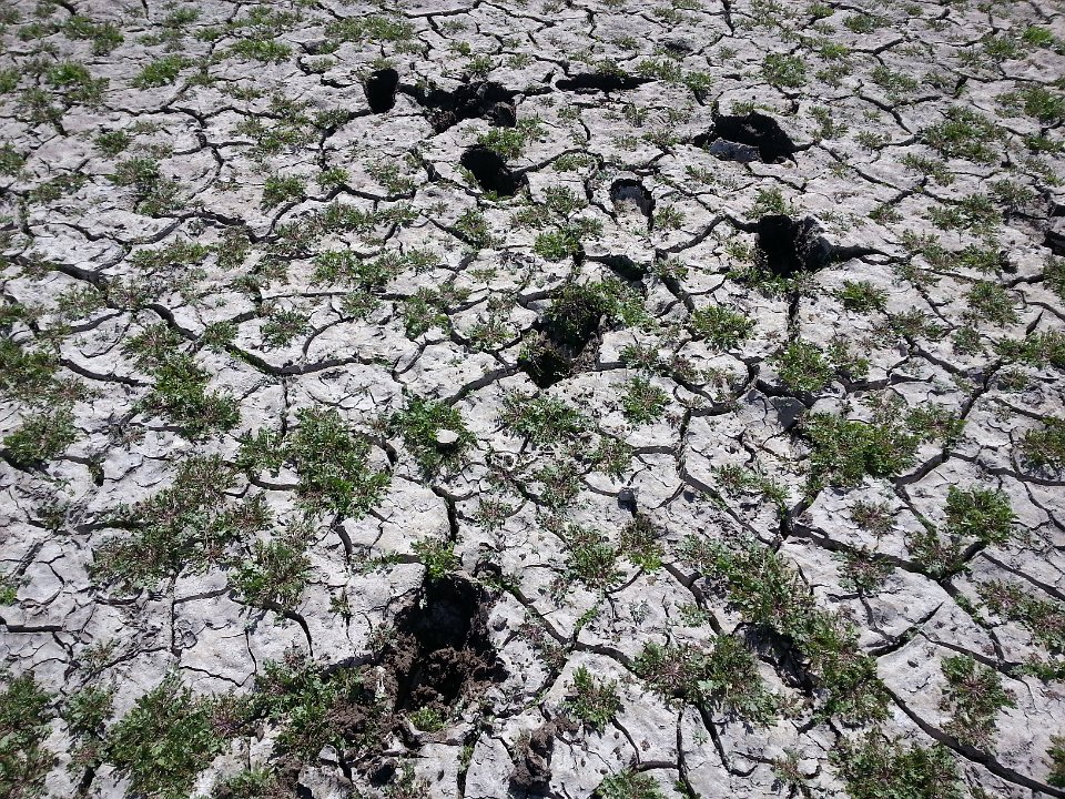
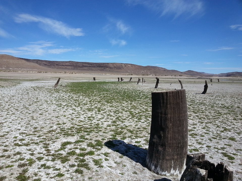
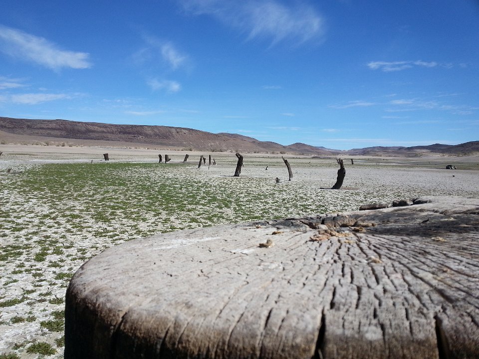
Trees from when they flooded the valley in 1915
8
Close up of the stumps
9
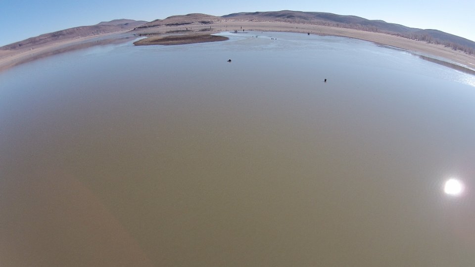
Lake Lahontan - September 2013
10
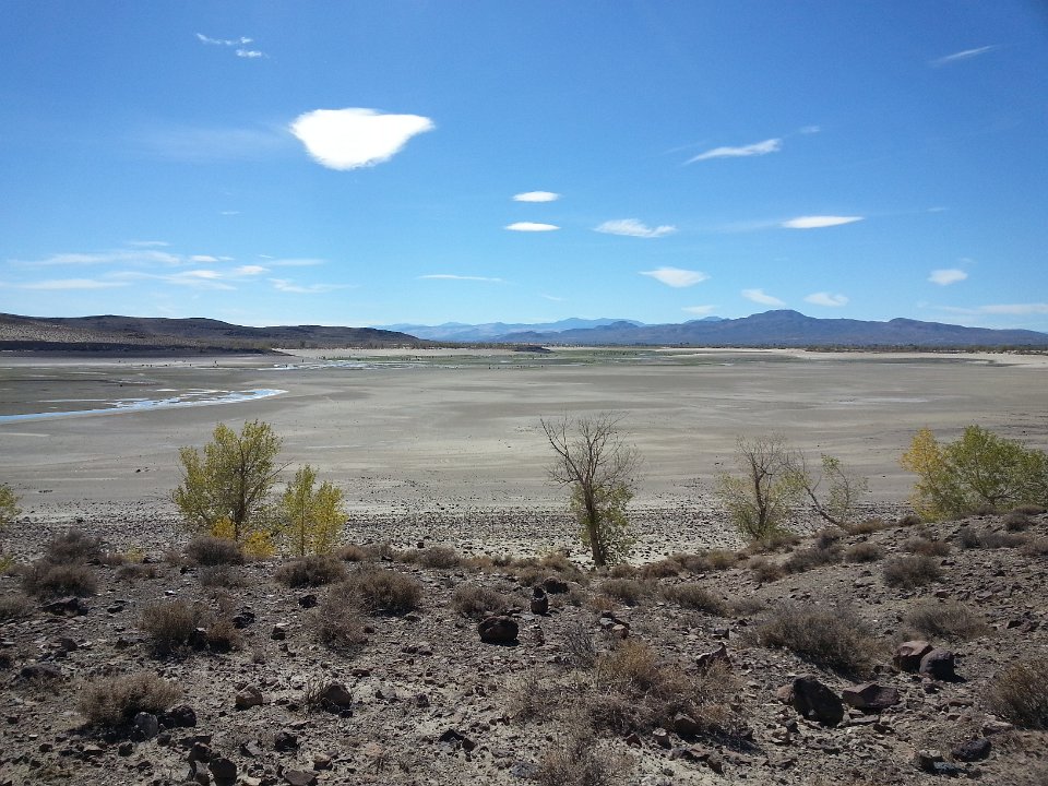
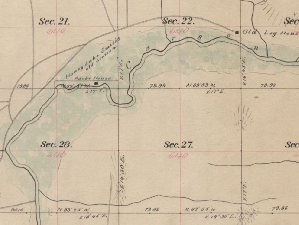
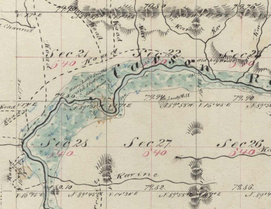
Overlooking Honey Lake Smith's from the east, looking west
11
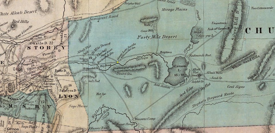
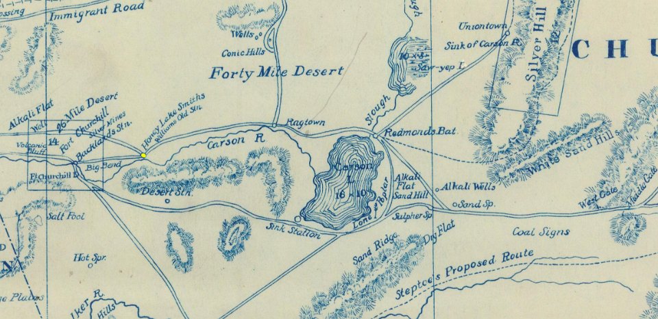
A Degroot Map from 1863 showing the location of Honey Lake Smith's
12
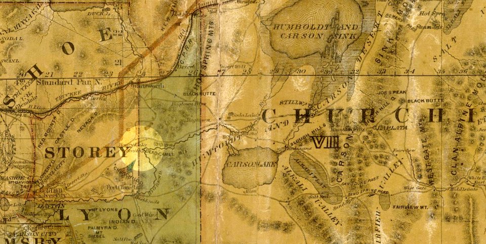
A holt map from 1869 showing Honey Lake Smith's
13
14
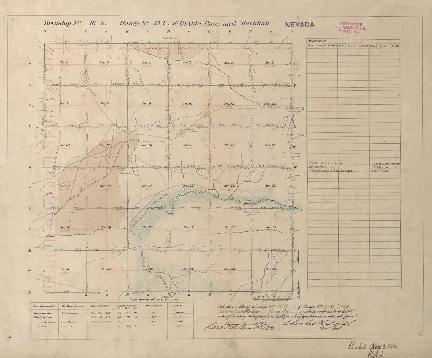
15
Close up of 1890 plat
16
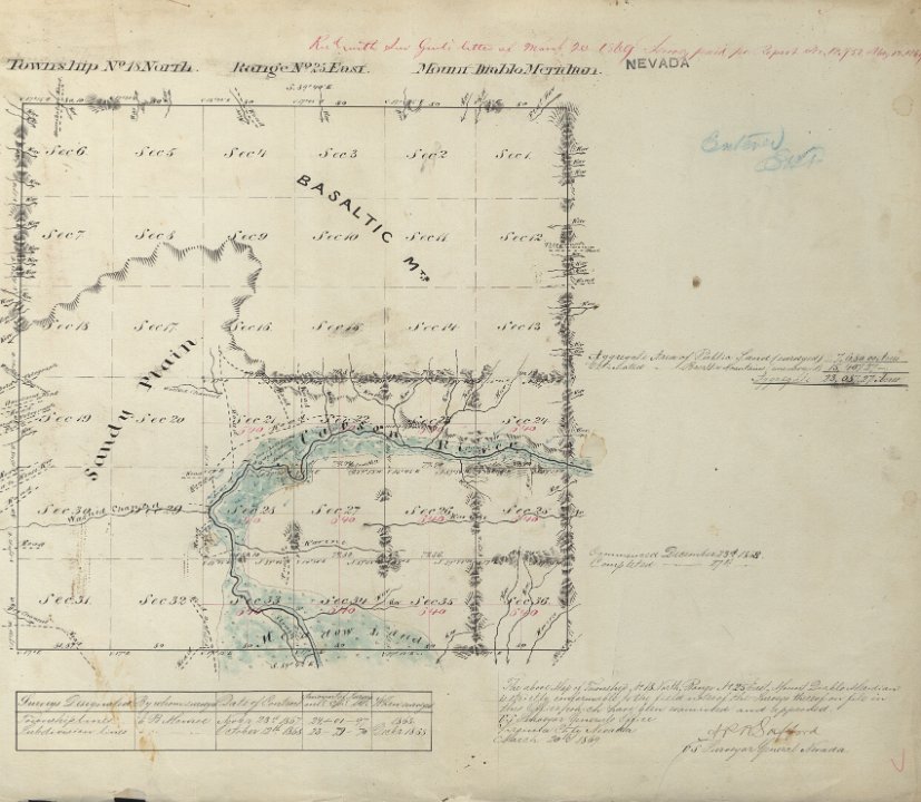
Closeup of 1868 plat
17
18
A less colorful Degroot map
19
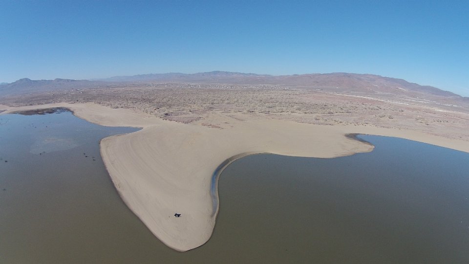
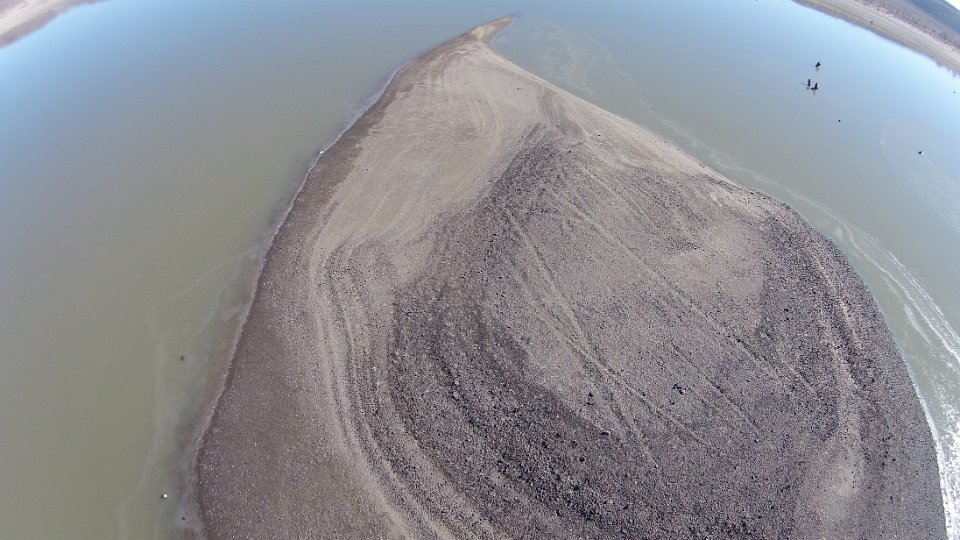
This is the little spit of sand from which we controlled our flight.
20
Approaching Williams Station by air
21
The entire "island" exposed.
22
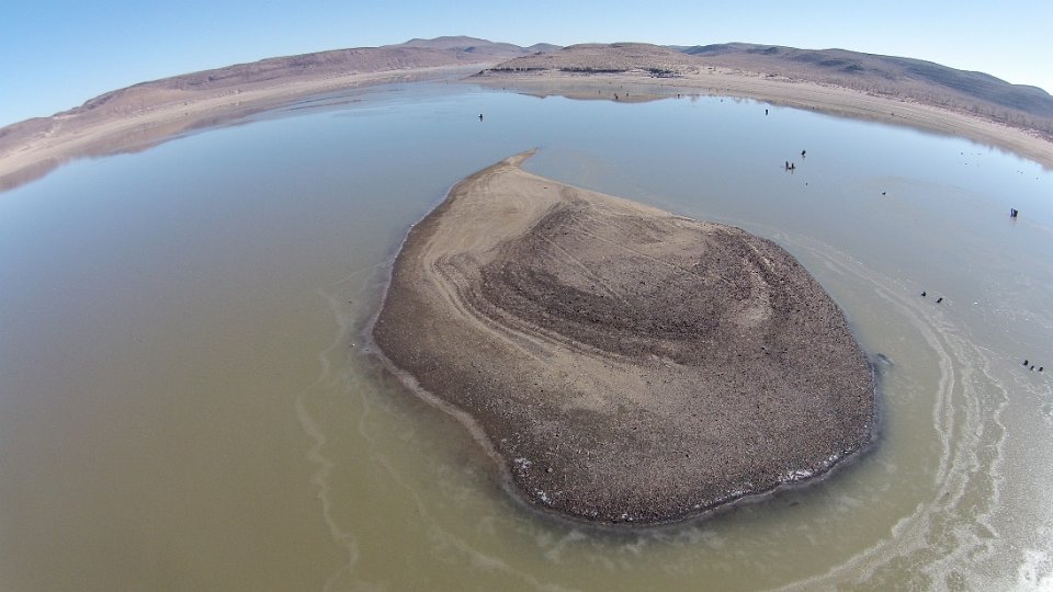
Hovering above Williams Station
23
Closer now, showing some detail. Note the straight lines... foundations? Corrals?