

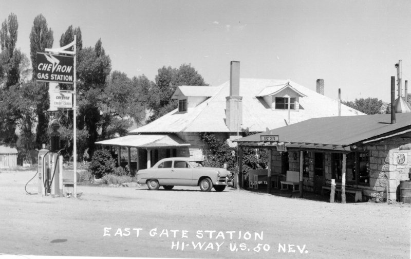
Eastgate house and store
(photo courtesy Churchill County Museum)
(photo courtesy Churchill County Museum)
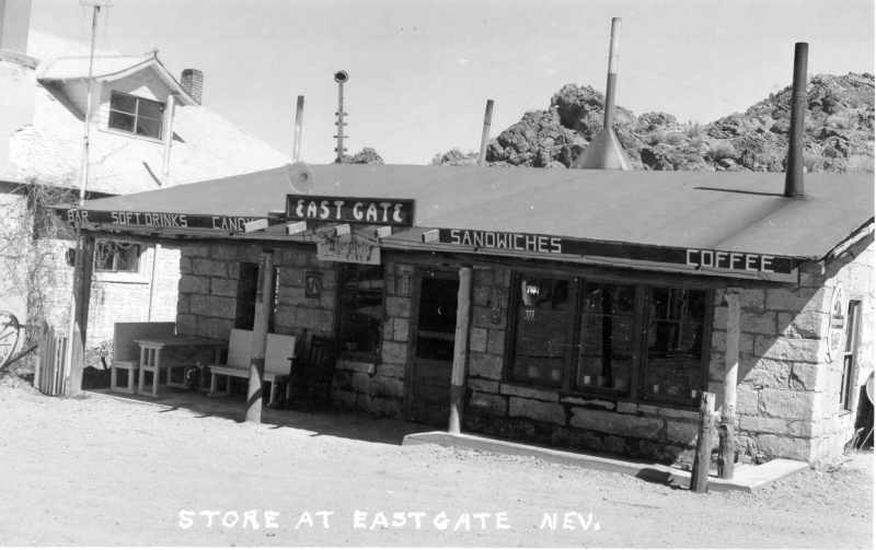
Eastgate Store- early 1950's
(photo courtesy Churchill County Museum)
(photo courtesy Churchill County Museum)

The store. You kinda get the idea that the house and the store is pretty much all there is at Eastgate, doncha?
(photo courtesy Churchill County Museum)
(photo courtesy Churchill County Museum)

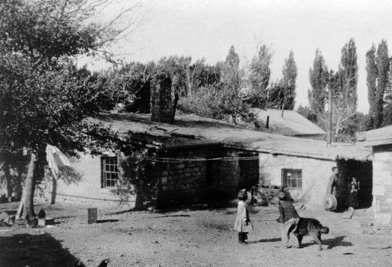
Wild times at the Eastgate store- date unknown
(photo courtesy Churchill County Museum)
(photo courtesy Churchill County Museum)

Another view of the house
(photo courtesy Churchill County Museum)
(photo courtesy Churchill County Museum)
The is the original house before the tufa house was built. It is in the location of the "present" store.
(Thanks Bunny!)
(photo courtesy Churchill County…
(Thanks Bunny!)
(photo courtesy Churchill County…
These buildings were used for general storage, meat storage during the day, and the power plant.

Hasn't pumped gas or sold Cokes for quite a while
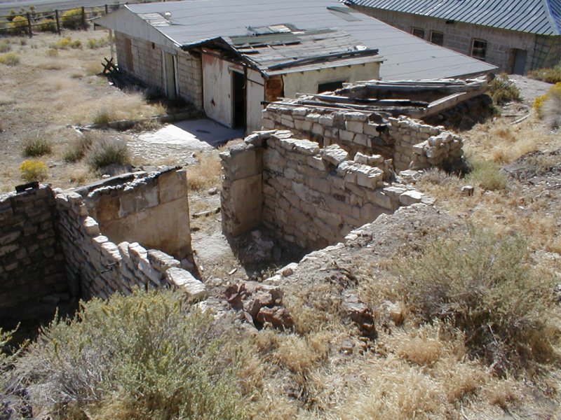
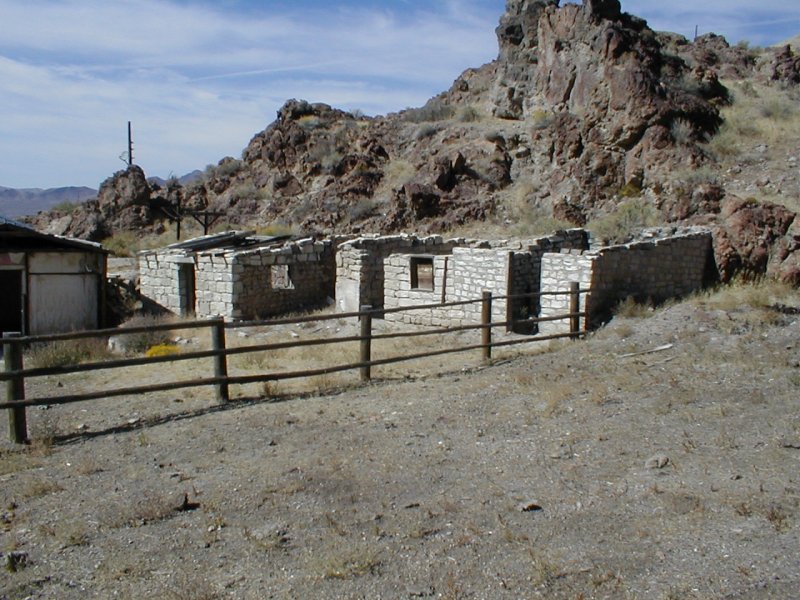
A view inside the ruins.
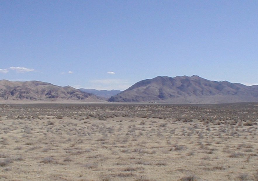
A view of Eastgate from Highway 50, about 2.5 miles to the southeast.

Looking east up the canyon past Eastgate
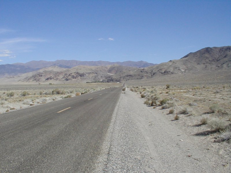
Heading east on the old Lincoln Highway, now SR 722, towards Eastgate


Reno Gazette journal, April 5, 1930
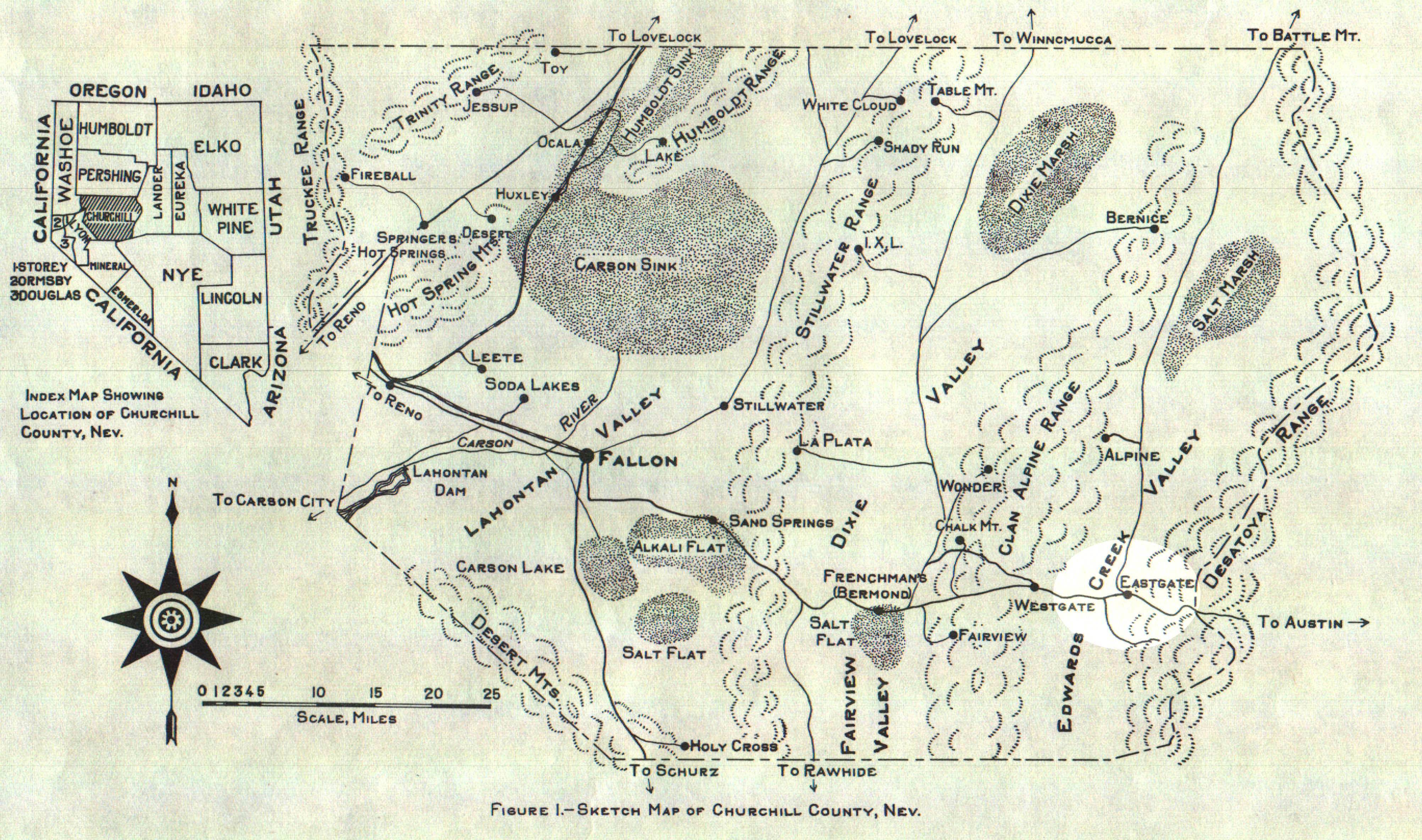
Vanderberg map showing location of Eastgate, among other places.
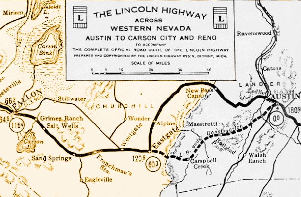
1924 Lincoln Highway map showing what we now call the old portion of Highway 50 (SR 722) being newly constructed, while the Lincoln Highway turns north at…

Pretty sure the "camp" mentioned here is referred to as "Eastgate." From the Nevada State Journal, October 10, 1932

Townsite plat filed for Eastgate City

Photo courtesy Churchill County Museum